About the product
We utilise innovative 3D mapping software designed to process aerial imagery from our drone into high quality, interactive, scalable 3D models. Whether you require orthomosaic maps or counter maps or photogrammetry, our mapping solutions will provide you with the critical data in order to meet your project goals.
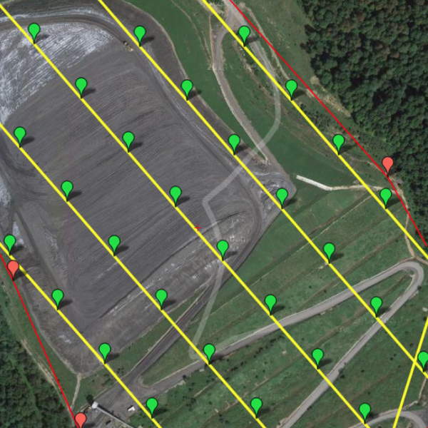
Our drone mapping solution can measure, transit and reveal unique insights for analysis and compliance documentation giving you fast and effective insights for better planning and decision making.
Our drone mapping solution can measure, transit and reveal unique insights for analysis and compliance documentation giving you fast and effective insights for better planning and decision making.
Price
P100 - P100,000
Contact with supplier
Company